Treks in Iceland
The trek in Iceland with day-by-day itineraries measured from elevation data and a drone's view: Laugavegur trail.
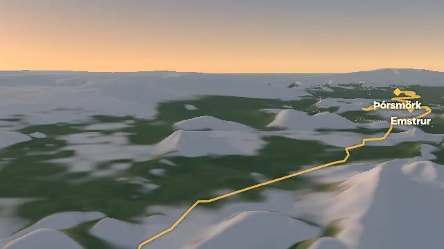
Its days are measured along the trail from elevation data: each day's distance and climb, and the summits in view from each night's stop. It reaches 1,117 m at Hrafntinnusker over 56 km on foot.